
Southern California Braces for Heavy Rain, Snow, and Flood Risks Amid Incoming Winter Storm
A shift from dry, warm conditions to rain, snow, and cooler temperatures is expected this weekend, prompting flood watches in wildfire-affected areas.

Southern California is preparing for a dramatic weather shift as a powerful winter storm is set to bring much-needed rainfall and snow. While the storm is expected to help extinguish lingering wildfires, it also raises concerns about flash flooding and mudslides in recently burned areas.
Flood watches have been issued for parts of Los Angeles, where recent wildfires have left the ground vulnerable to runoff. The Palisades Fire, which has scorched 23,448 acres and is 79% contained, along with the Eaton Fire, which has burned 14,021 acres and is 95% contained, are among the areas under alert starting Sunday at 4 p.m.
According to the National Weather Service (NWS), while the likelihood of severe flooding remains between 10% and 20%, officials warn that conditions could rapidly change. "While damaging debris flows are not the most likely outcome, there is still a lot of uncertainty with this storm," the NWS office in Oxnard stated Friday. "The threat is high enough to prepare for the worst-case scenario."
Other burn scars, including those left by September’s Bridge Fire in the Angeles National Forest and the Hughes Fire northwest of Los Angeles, are also under flood watch advisories. In response, Los Angeles County and surrounding cities such as Pasadena and Baldwin Park are providing sandbags to residents to help mitigate potential flood damage.
Rain and Snowfall Forecast
Rainfall is expected to begin in Los Angeles County on Saturday afternoon, intensifying into Sunday when "moderate to locally heavy rain, small hail, or graupel" may occur, according to forecasters. Urban areas like Los Angeles could see up to a quarter-inch of rain, while San Diego may receive up to an inch.
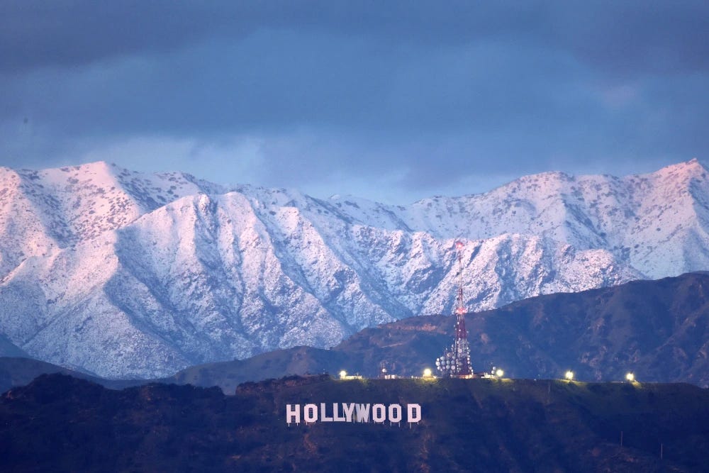
The storm is also expected to bring significant snowfall to mountain regions. Winter storm warnings have been issued for the San Gabriel and San Bernardino mountain ranges, including communities such as Wrightwood, Big Bear City, Crestline, and Lake Arrowhead. The warning is in effect for 48 hours starting Sunday at 4 p.m.
Forecasters predict up to 18 inches of snow above elevations of 6,000 feet, with accumulations of up to six inches possible above 4,000 feet. The vital Interstate 5 corridor through the Grapevine in Lebec could see a light dusting of snow, potentially causing travel disruptions. Meanwhile, the mountains of Los Angeles and San Diego counties could accumulate 14 and 8 inches of snow, respectively.
Impact on Wildfire Season
The storm arrives amid one of Southern California’s driest winters on record. As of January 10, only 0.14 inches of rain had fallen in San Diego since the start of the water year on October 1, marking the driest season since 1860, according to the NWS office in San Diego.
While the rain will help alleviate fire conditions, new concerns arise for areas already scorched by flames. The Border 2 Fire in San Diego County, which has burned 6,273 acres since Thursday and was only 10% contained as of Friday evening, remains an area of concern.
As the storm moves in, temperatures across Southern California are expected to drop 10 to 15 degrees, marking a stark contrast from the warm, dry conditions that have persisted for months. Authorities continue to monitor the situation closely, urging residents in flood-prone areas to stay vigilant and take necessary precautions.